History of the path
Following the establishment of the Pembrokeshire Coast National Park in 1952, Welsh naturalist and author Ronald Lockley surveyed a route around the coast. Although there were villages and settlements on the coast, communication between these was largely by boats, and access in the region was generally poor. Lockley’s report for the Countryside Commission in 1953 was welcomed and broadly adopted. Some sections of the walk were existing rights-of-way, but the majority were in private hands, necessitating negotiation. Most landowners were in favour, and many benefited from the erection of new fencing. Even today, however, the path in places detours from the obvious line where landowners were unwilling to accept a new right-of-way across their land.
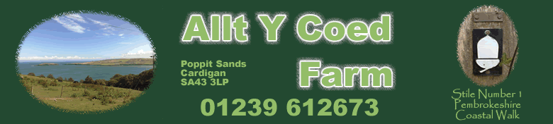
Completion of the path took 17 years, and this work included the erection of more than 100 footbridges and 479 stiles, and the cutting of thousands of steps into steep or slippery sections.
When opened by Wynford Vaughan-Thomas on 16 May 1970, the length of the path was given as 180 miles (290 km), but over the years there have been a number of Footpath Diversion Orders which have extended it to its current length of 186 miles (299 km).
Awards
In 2011 National Geographic magazine voted Pembrokeshire the second-best coastal destination in the world.
The Coastal Path passes all of Pembrokeshire’s award-winning beaches, Over the years these have been awarded 41 Blue Flag Awards (13 in 2011), 47 Green Coast Awards (15 in 2011) and 106 Seaside Awards (31 in 2011).
In 2011 there were 39 beaches recommended by the Marine Conservation Society.
Description
The Pembrokeshire Coast Path lies almost entirely within the Pembrokeshire Coast National Park — Britain’s only coastal national park – and passes through stunning scenery. Throughout its length it covers a huge range of maritime landscapes, from rugged and steep limestone cliffs and volcanic headlands to sheltered red sandstone coves, flooded glacial valleys, winding estuaries, and wide-open beaches. In total the path passes 58 beaches and 14 harbours.
As far as possible the route runs close to the cliff edge and coast, but this is not possible at all times; on occasion the coast is barely in sight where the path detours round industrial or military areas. These deviations, however, are brief.
The walking is not strenuous, but there are constant undulations throughout, and there are narrow sections of the path. There are also many stiles en route. In its entirety the Coast Path represents a considerable physical challenge — its 35,000 feet (11,000 m) of ascent and descent is said to be equivalent to climbing Everest. There are two low-tide crossings, at Dale and Sandy Haven, which require lengthy detours if not timed suitably.
There are a handful of seaside towns and coastal villages along the path, such as Tenby, St Davids, Solva and Newport and the backpacker attempting longer parts of the trail will consequently find enough shops and campsites along the way, but may need to carry food and water for a couple of days in one or two places. There are also a number of small hotels and guest houses en route, invariably family-run. There are also cottages for hire, often built in traditional styles.
For the vast majority of walkers, the coastal path is enjoyed in shorter sections, and the Pembrokeshire Coast National Park lists some 130 shorter circular walks on its website. Access to the coastal path (by bus or car) is easy in dozens of locations. The whole coast is served by a number of dedicated walkers’ bus services, which operate over the entire length of the path; these include the Puffin Shuttle, the Coastal Cruiser, the Celtic Coaster, St David’s Peninsula Shuttle Service, the Strumble Shuttle, and the Poppit Rocket.
Since the construction of the Cleddau Bridge across Milford Haven Waterway it is possible to walk the whole route of the trail without a break. The path, however, is not continuous in that it is not designated through built up areas in the southern section, such as Milford Haven, Pembroke Dock, Tenby and Saundersfoot.
Thanks to Wiki for the basis of this text.